Our work: A raft of measures are being carried out to protect the sites for future generations, which include:
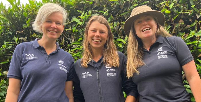
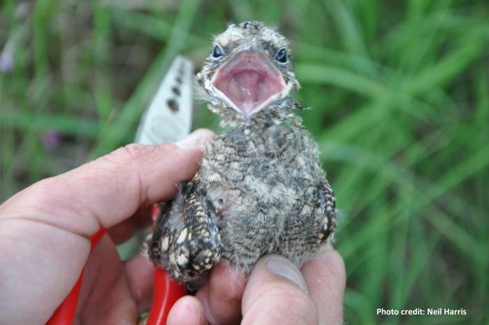
- Habitat Mitigation Officers delivering a programme of education for users and visitors to the three sites.
- Improvements to visitor access across the main car parks on the East Devon Pebblebed Heaths which will also help wildlife.
- New signage and interpretation to help visitors to enjoy the East Devon Pebblebed Heaths responsibly.
- Dawlish Countryside Park – a brand new 65-acre green space for people to enjoy.
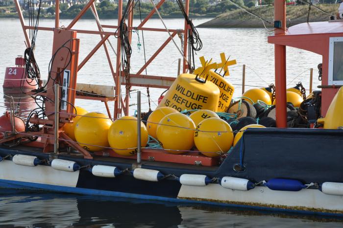
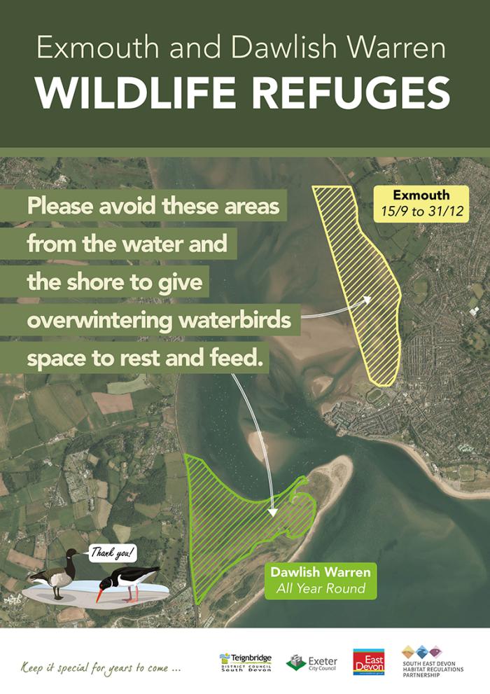
- Wildlife refuges near Dawlish Warren and Exmouth to protect wildlife by providing space for protected birds. These are outside the areas used for leisure.
- Updated signage for visitors to Dawlish Warren.
- New fencing to help guide visitors away from sensitive areas at Dawlish Warren.
- Updated codes of conduct for all the different types of groups using the Exe Estuary, Dawlish Warren and East Devon Pebblebed Heaths so they can use the areas safely, within the law, in consideration of other users, and at the same time protect nature.
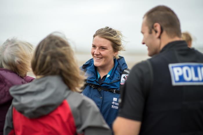
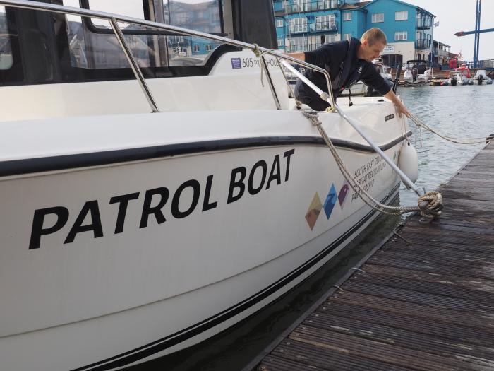
*ITV Westcountry broadcast a news story about the new wildlife refuges and patrol boat on the Exe Estuary. The boat is named Branta Isca, after Branta, the “family” of birds which includes the iconic Exe species, the Dark Bellied Brent Goose and Isca, the Roman name for Exeter. Habitat Mitigation Officers, Amelia Davies and Sama Euridge explain to ITV reporter Bob Cruwys why wildlife refuges on the Exe Estuary are important and how the patrol boat helps them educate people about the important wildlife. You can watch the short film via this link.
Why is it needed? There is proof that a growing population would have an impact on protected wildlife on the three sites. This proof and the extensive research, which underpins our work, can be found in the South East Devon European Site Mitigation Strategy and the Pebblebed Heaths Visitor Management Plan.
Working with partners including Natural England, the Pebblebed Heaths Conservation Trust, RSPB, Devon Wildlife Trust and the Exe Estuary Management Partnership, Footprint Ecology and the three Councils established a plan to prevent these impacts. The South East Devon European Site Mitigation Strategy was completed in June 2014 and identified 60 different measures to run over a period of 80 years.
The measures in the Strategy and accompanying Visitor Management Plan are funded by developers (per house) and delivered under a region-wide, collaborative, “joint approach” between the partner authorities and key stakeholders. In every March, an Officer Working Group made up of representatives from these organisations review these measures and agree which ones to recommend bringing forward in the following year as the annual business plan. This forms part of an annually updated 5 year delivery plan to ensure the most effective mitigation is being brought forward. Other items include reporting of financial management, results of monitoring schemes and progress updates. Recommendations are presented at open (public) meetings of the South East Devon Habitat Regulations Executive Committee, who are the decision-making body tasked with implementing the Strategy.
Read the strategy and business plan of the Committee for:
Read the Five Year Delivery Programme.
Read the schedule for the meetings of the Executive Committee.
Funding comes from developer contributions on new residential housing across the three areas and within a 10km “zone of influence” from the protected sites. This zone was established through extensive research and visitor survey work which helped to identify how visitors access the sites and how far they have travelled to get there. Read the report on recreational use of the three sites and implications of development pp 83-98.